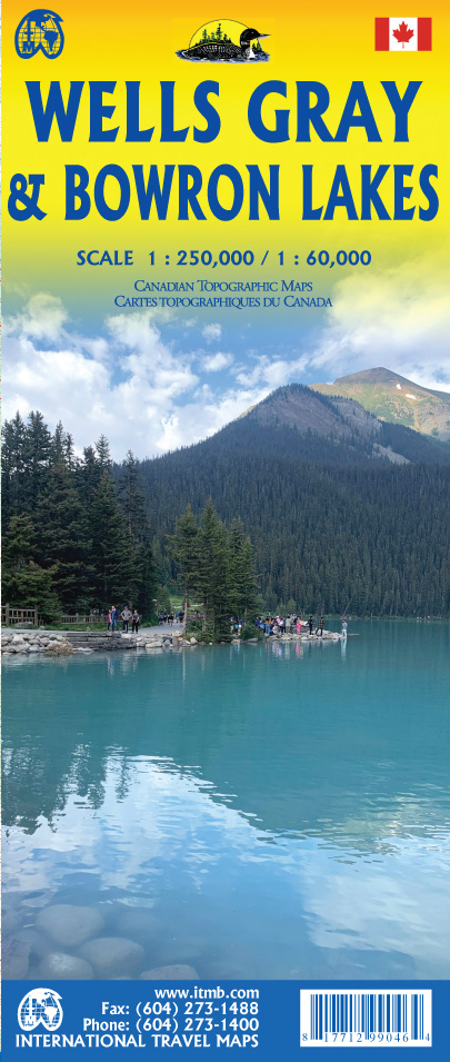
Bowron Lakes/Wells Gray Travel Reference Map
2nd Edition
| Scale | 1:60,000/1:250,000 |
| ISBN | 9781771299046 |
| UPC | 817712990464 |
| $ CAD | 13.95 |
| $ USD | 13.95 |
| € EUR | 9.95 |
| £ GBP | 9.95 |
|
Buy this Map: |
|
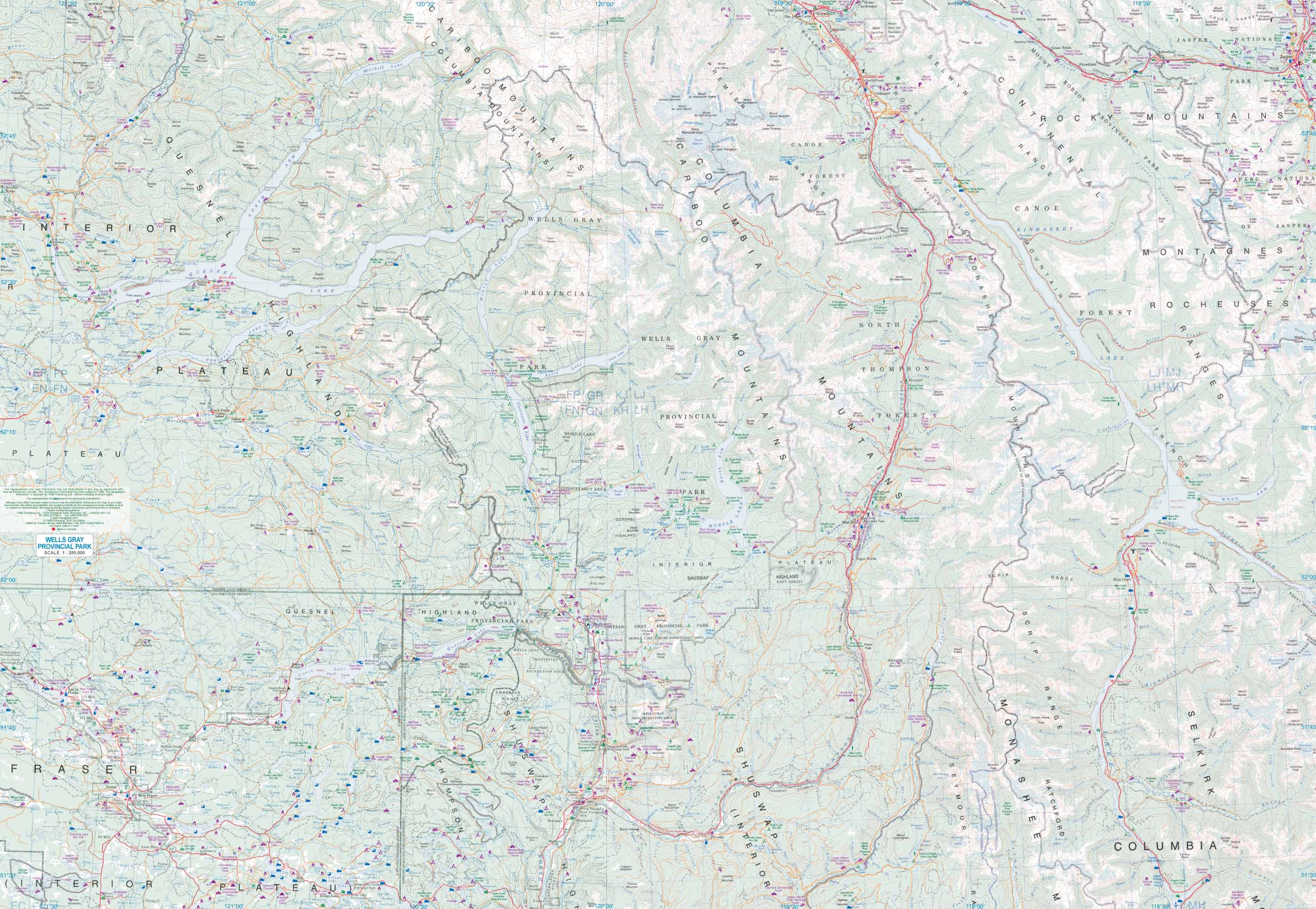
 ITMB publishes several recreationally-oriented maps of various parts of the world. British Columbia is as large as all of western Europe and has, of course, a lot of wilderness. The Bowron Lakes is a vast region, consisting of a series of lakes that form an almost perfect oblong-shaped square, with easy portages between the lakes. It takes canoeists a week to paddle the nine lakes and return to the only land access to this wilderness area. Numerous camping sites are available for canoeists to rest overnight, and no motorized water craft are allowed, ensuring a pristine wilderness experience. The Bowron Lakes are unique in the world and fill one side of this double-sided map. The second side is devoted to a nearby (in Canadian terms, that means within several hundred kilometers) called Wells Gray. The heart of this wilderness area is the provincial park of the same name, which occupies an area approximately the size of Belgium. In addition, the map covers popular recreational lakes such as Canim, Mahood, Quesnel, Horsefly, and Canoe Reach, which in itself is a hundred kilometers long. Two hundred wilderness campsite are noted on this map, which probably contains four hundred lakes. The recreational opportunities are endless – snowmobile trails in winter become hiking and horse trails in summer, backroads are plentiful, parks frequent, and good, clean air is everywhere. If you want to get away from it all, this is where to go!
Legend Includes:
Roads by classification, Rivers and Lakes, National Park, Airports, Points of Interests, Highways, Main Roads, Zoos, Fishing, and much more...
Preview (click to enlarge):