 Paris and Region Travel Reference Map (WP)
3rd Edition
| Scale | 1:11,500/1:500,000 |
| ISBN | 9781771296458 |
| UPC | 817712964588 |
| $ CAD | 13.95 |
| $ USD | 13.95 |
| € EUR | 9.95 |
| £ GBP | 9.95 |
|
Buy this Map: |
|
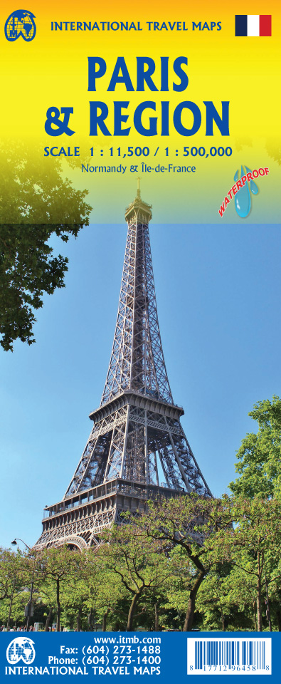 What can one say about Paris that has not been said many times? Side 1 is a detailed street map of the area within the former city walls and shows all the subway (Metro) lines and rail lines with stations. Naturally, touristic sites abound, and are noted accurately on the map. We show a selection of hotels, most museums and major public buildings. The new pedestrian enclave in the 3rd Arrondisement is shown. Side 2 is a new map of the region around Paris,, mostly Normandy and Picardy, so would be useful for those taking day trips to Rouen, Orleans, or Reims. This portion of France is loaded with castles, palaces, and grand chateaux, such as Blois, Chambord, and Fontainebleau, ancient cathedral cities, such as Chartres and Senlis, and historic cities to tempt the traveler to explore. The back cover shows the central Paris Metro network in excellent detail.
Legend Includes:
Roads by classification, Rivers and Lakes, National Park, Airports, Points of Interests, Highways, Main Roads, Zoos, Fishing, and much more...
Preview (click to enlarge):
